What geofencing does in commercial drone operations — and why it matters for safety
A geofence is a virtual boundary defined in geographic coordinates that triggers a response when a GPS-equipped device crosses it. In consumer electronics, geofences are used for location-based notifications and parental controls. In commercial drone operations, they are a foundational safety mechanism — one of the primary ways that operators enforce the spatial boundaries defined in their operational authorisations and protect against inadvertent intrusions into restricted airspace.
How geofencing works in practice
A geofenced area is defined as a set of geographic coordinates — latitude, longitude, and in three-dimensional implementations, altitude — that describe a volume of airspace. The drone’s flight management system continuously compares the aircraft’s GPS position against the geofenced boundaries. When the aircraft approaches or reaches a boundary, the system triggers a defined response.
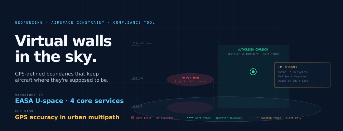
The responses vary by implementation and purpose. A warning geofence alerts the remote pilot when the aircraft is approaching a boundary without automatically constraining flight. A soft geofence slows the aircraft as it approaches a boundary and requires deliberate override to cross. A hard geofence prevents the aircraft from crossing the boundary entirely — it will stop, hover, or return to base rather than violate the defined limit. The strength of enforcement appropriate for a given boundary depends on what the boundary protects.
Types of geofenced zones
Commercial drone operations encounter several categories of geofenced zone, each with different enforcement characteristics.
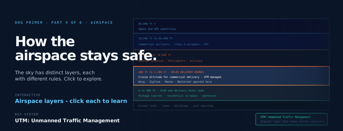
No-fly zones around airports and heliports are typically hard-geofenced in compliant commercial systems. The consequences of an inadvertent intrusion into airport approach or departure paths are severe, and the geofence provides a backstop against GPS error, pilot error, or software anomalies that might otherwise result in a conflict with manned aviation.
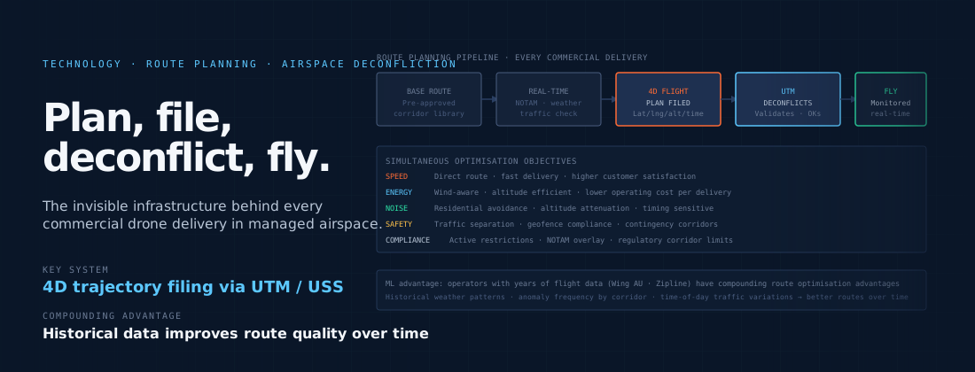
Authorised operating areas define the airspace within which a specific operational authorisation is valid. A delivery operator authorised to fly within a defined corridor uses geofencing to ensure that no aircraft strays outside that corridor — including in scenarios such as a navigation system anomaly, a communication link failure, or an unusual flight path caused by wind.
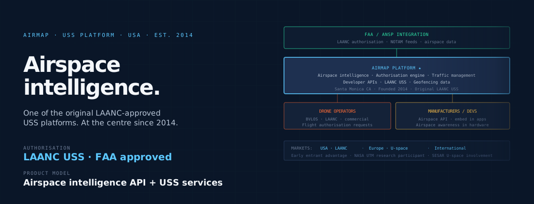
Dynamic geofences can be updated in real time to reflect temporary airspace restrictions — NOTAM-based temporary restrictions around events, emergency response areas, and similar. In UTM frameworks that support dynamic geofencing, the USS platform can push updated geofence data to aircraft in the field, constraining or redirecting flights to avoid newly restricted areas without requiring manual intervention from the operator.
Geofencing and Remote ID
Remote ID — the broadcast standard that requires drones to transmit their identity and position — works alongside geofencing to provide airspace awareness and enforcement. Remote ID broadcasts the aircraft’s position continuously; geofencing constrains where that position can be. Together, they provide both the visibility (who is flying and where) and the constraint (within what area) that authorities need to manage shared airspace.
EASA’s U-space framework includes geofencing as one of the four mandatory U-space services, alongside network identification, flight authorisation, and traffic information. This reflects geofencing’s role not just as an individual aircraft safety system but as a building block of the wider airspace management architecture. The U-space geofencing service allows authorities to define and update airspace restrictions digitally, and requires USS platforms to distribute those restrictions to operators and aircraft within the affected area.
Limitations and failure modes
Geofencing is only as reliable as the GPS system it depends on. GPS accuracy in urban environments can be degraded by multipath effects — signal reflections from buildings that introduce position errors. A geofence designed to keep an aircraft within a corridor of defined width requires GPS accuracy sufficient to detect boundary proximity with adequate margin. Most commercial delivery systems supplement GPS with additional positioning inputs — barometric altitude, visual positioning, inertial measurement — to reduce the impact of GPS degradation on position accuracy.
Geofencing also depends on the accuracy of the geofence data itself. An incorrectly defined geofence boundary — whether due to data entry error, coordinate transformation error, or an outdated dataset that has not reflected a change in airspace structure — can fail to protect the airspace it is intended to protect, or conversely constrain operations in airspace where the constraint is not warranted. Data quality management for geofence databases is an unglamorous but operationally important function in commercial drone operations.